
Check out my published work and personal projects!
Contact me below
Featured Works
My Work
My Experience
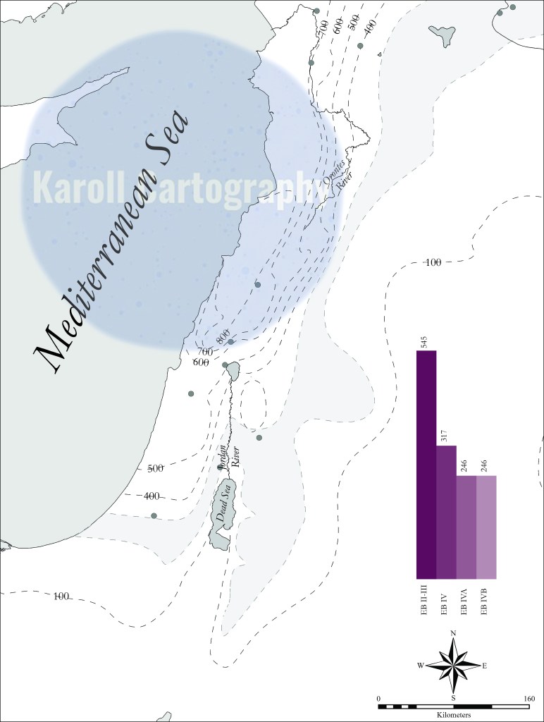
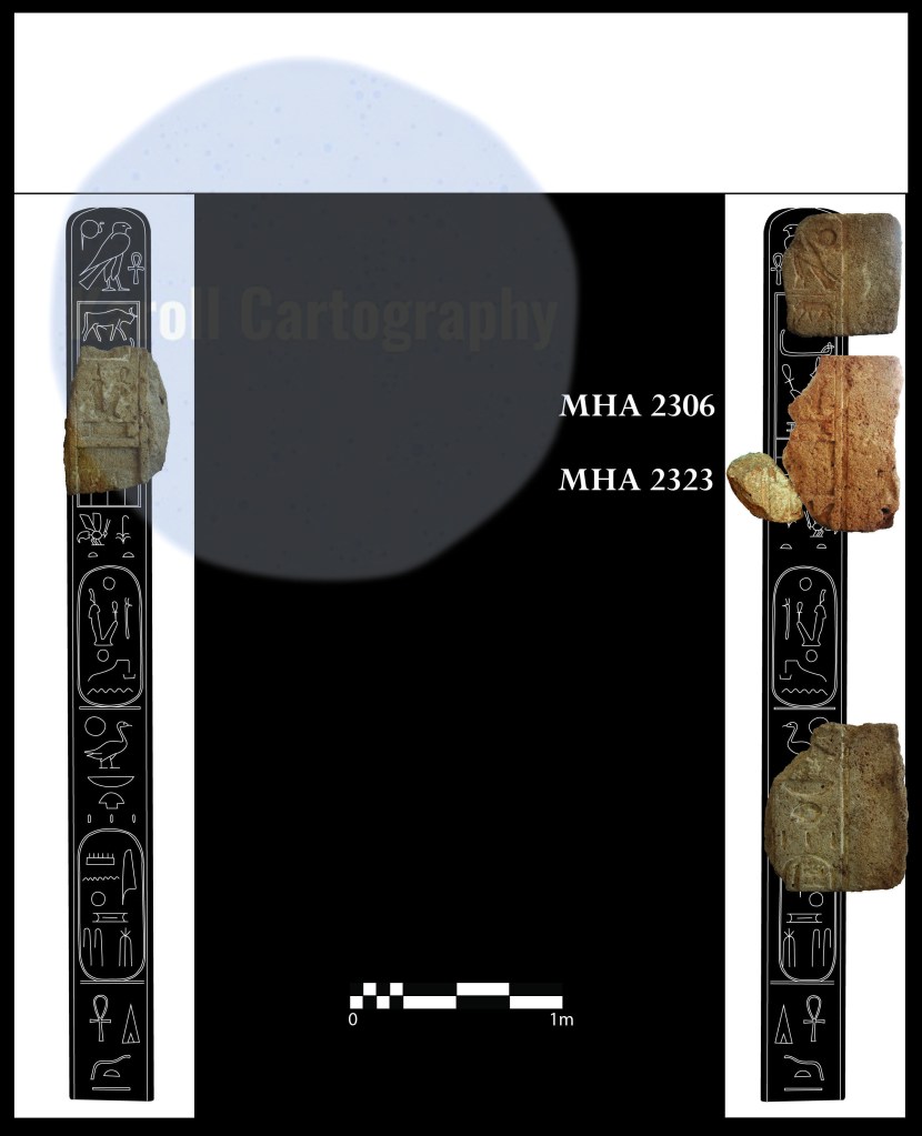
I have 15 years of experience in archaeology and 10 years in making publication-quality images. My specialty is GIS and cartography, and I make some amazing maps! I also have extensive experience digitizing and generating line drawings, editing and fixing images, 3D modeling, website design, and many other digital mediums.
My Skills
My skills and specialties include ArcGIS, Q GIS, Google Earth, Adobe Photoshop, Illustrator, and InDesign, Microsoft Word, Excel, and PowerPoint, AutoCAD, SketchUp, Photogrammetry, Writing, Blogging, and Getting Things Done.
Follow Me
My portfolio showcases various academic publications and personal art projects created throughout my career. Subscribe to my site to get updated when I add new stuff.
About Me

My name is Amy, and I am an archaeologist and general geek. While writing my MA thesis, I realized I needed publication-quality maps and ceramic plates that had never been produced, and from that moment started making my own. After a while, I realized there was a niche for digitally oriented archaeologists and started making images for friends. I also realized I had a talent for taking and editing photographs and started doing so on digs.
This slowly morphed into being paid to make images for faculty in my department. Then, while working in technology support at UCLA, I started making images for faculty and graduate students in other humanities and social science departments. Then I started getting contracts on my own. And now I’m here!
I love to travel and do so often. If I wait to answer an email, it’s probably because I am on an archaeological dig, in a different country studying or traveling, or back home in Wisconsin in my other favorite role, Auntie Amy. Drop me a line, and I will always answer!
Contact
Get in Touch
Please include your name, contact information, and the basics for the type of image you want. We can talk specifics and figure out what works best!
Images start at $100 for a basic image with up to 5 labeled sites/cities or 20 unlabeled sites/cities with basic geographic features labeled. Please contact me for an estimate.


